
The largest Monolithic Rock in Asia, also known as the Fort of Death!
Quick Facts
Location: Savandurga, Ramnagara District
Distance: 60kms from Hebbal
Altitude: ~1226m (~4000 feet)
Distance: ~6 kms (up and down)
Trek Duration: 3-4 hours (up and down – can vary from person to person).
Trek Start Time: 6 am (they have another trek that starts at 8 am).
Difficulty: Moderate (opinion may vary depending on one’s fitness levels and prior trekking experience).
Best Season: September to February
What to Carry
– Backpack
– Trekking shoes (essential considering the terrain)
– Water bottle
– Electrolytes
– Energy bars/bananas
– Towel/bandana
– Extra T-Shirt (to change after the trek)
– Cap and Sunglasses
– Sunscreen
– ID Cards and booking confirmation (for the Forest Department to verify)
Introduction
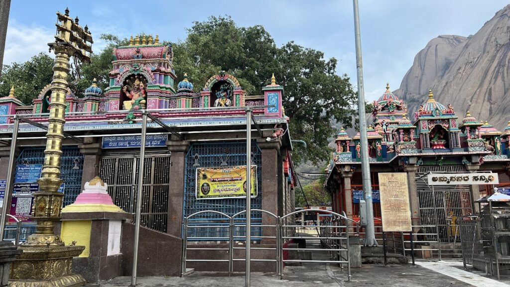
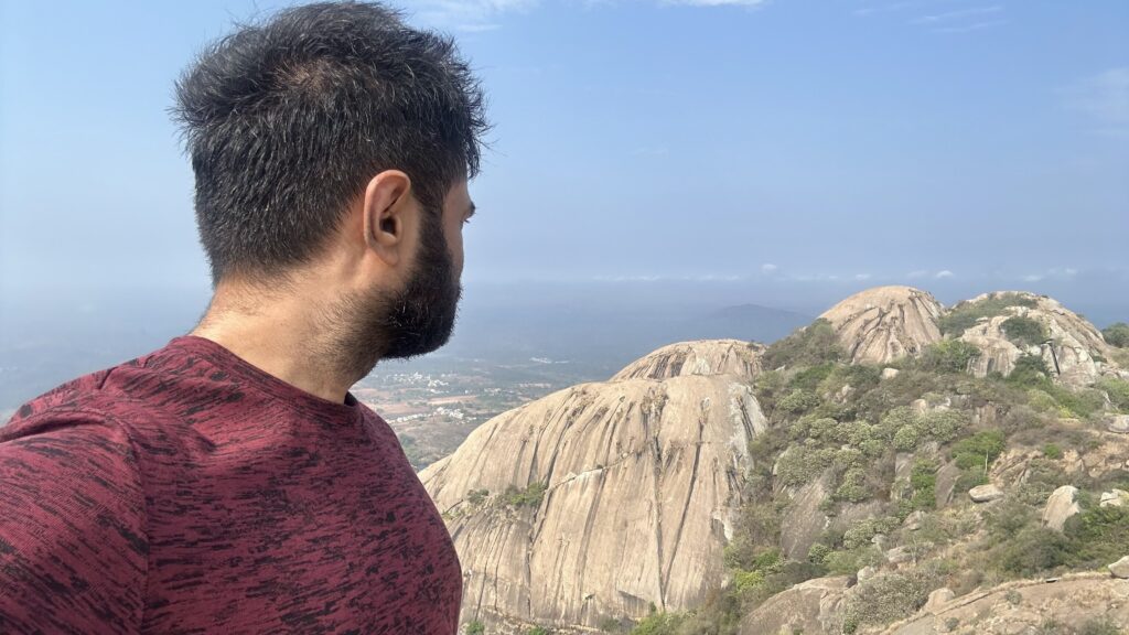
Karibetta (Black Hill) and Bilibetta (White Hill) constitute the largest monolithic hill in Asia that is called Savandurga. Located in the Ramanagara district, Savandurga is a well known spot for trekking and rock climbing. Located at the base of the mountain are two temples – Sri Savandi Veerabhadra Swamy Temple (Dravidian style architecture) and Lakshmi Narasimha Temple (temple has been painted and renovated hence losing its old world character) both dating back to the Hoysala era of 1340 AD.
Reaching Skandagiri
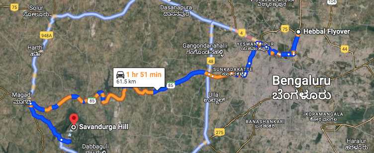
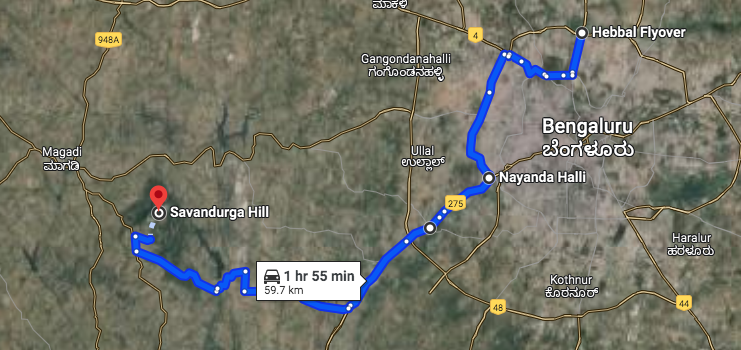
Savandurga is located about 60 Kms from Hebbal and takes about 1 hr 30 mins to reach the location. We started at around 4.30 AM as we had booked for the 6 AM trek via Karnataka Eco Tourism. From Hebbal, we took the outer ring road via Goraguntepalya towards Nayandahalli.
We missed taking the deviation towards Magadi Main Road and ended up going to the Mysore Toll Plaza. We followed Google Maps which took us through a village road – the road was really bad with a lot of bumps and ditches along the way – after which we finally reached the Savandurga-Manchinbele dam road where the quality of the road improved remarkably.
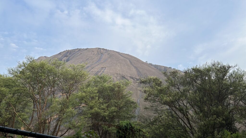
As you near the Manchinbele dam and make your way towards Savandurga, the view is quite scenic and the brief drive through a forested area is quite refreshing. As you near the monolith, the size of the structure is baffling. We reached Savandurga at 6 AM.
There is sufficient parking space around the temple premises around which you will also find vendors selling snacks – like idly, biscuits etc.
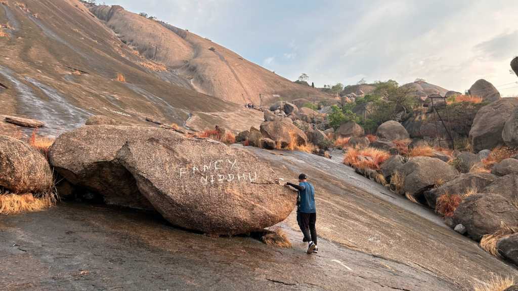
The Journey
We reached the starting point of the trek at around 6.15 AM where we got our booking verified by the forest department. Yes, prior booking is compulsory to do the trek as they allow a maximum of 100 trekkers. I had a few friends who had gone without prior booking just a few days before us and they were not given permission to do the trek. They had allotted a few guides to accompany the batch of trekkers. We were also accompanied by 3-4 furry companions all the way to the top of the hill.
The best time to do this trek is between September-February. During monsoon, the rock becomes very slippery and during summers, the rock surface tends to emanate a lot of heat adding to the challenge. When we did the trek, it had rained on the previous night. Certain sections of the trail were slippery because of this and we could see streams of water gently rolling down to the base of the hill.
The trek is about 60% steep rocky incline interspersed with 30% flat terrain and about 10% where you literally need to trek on all 4 limbs! The trek is definitely DOABLE even for a beginner. You just need to pace yourself well, take breaks when needed.
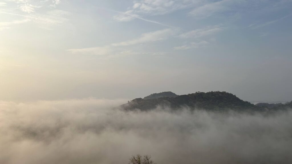
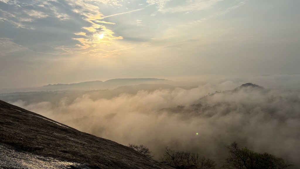
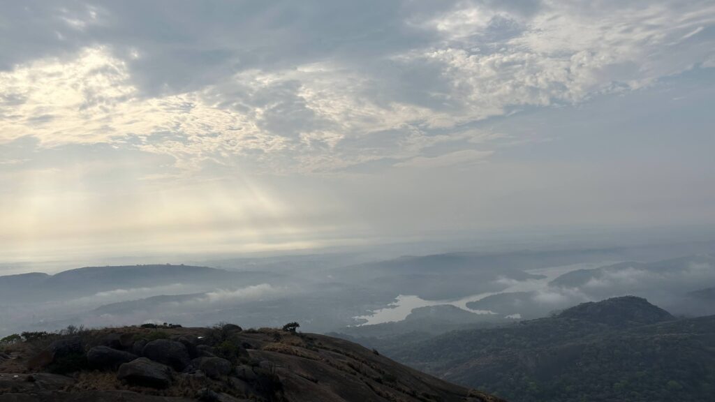
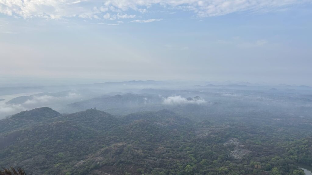
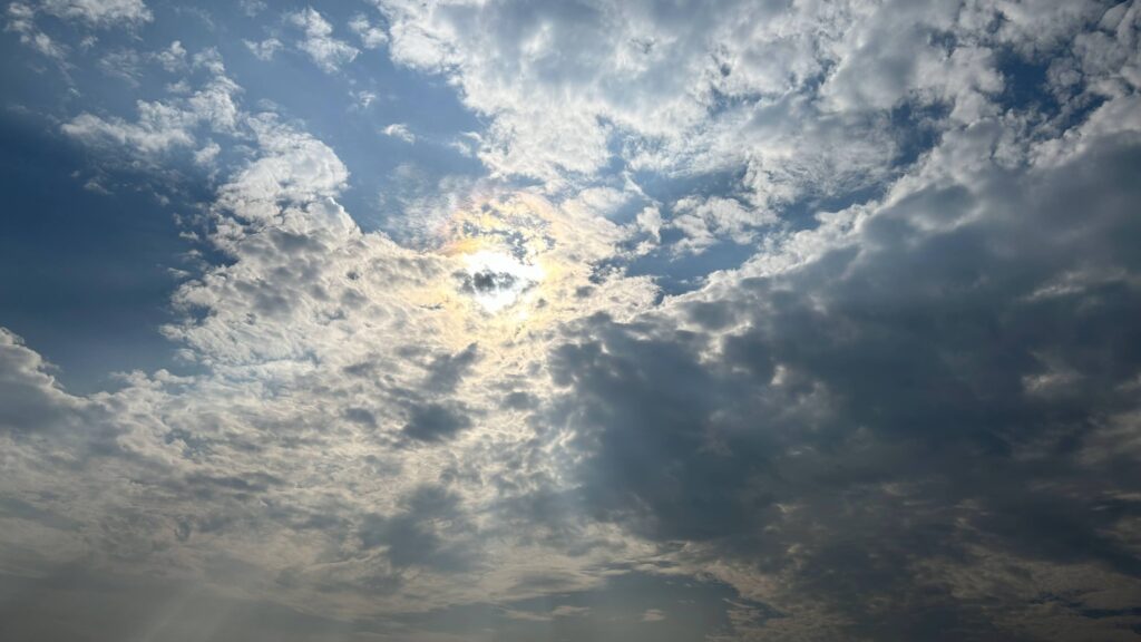
If you are doing the early morning trek, once you are 500m into the trek, the view is fantastic. You are surrounded by the clouds and the sun can be seen at a low angle in the sky. The sun, the clouds, the mountains and trees make this spot great for photography.
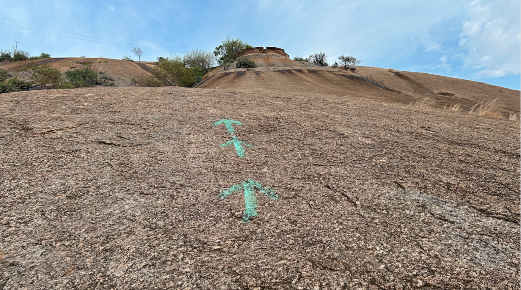
The trail is marked with arrows so that the trekkers know which section of the hill is more easily ‘trekkable’ and avoid the dangerous sections of the trail. Due to the rains, the markings may get wiped out in which case the guide who accompanies the trekkers shows the way.
There is one very interesting section of the climb where you need to literally climb uphill on all 4 of your limbs on the bare rock (see below). Towards the left side of this steep section, you will find footrests carved into the rock about three-fourths of the way up to make the climb easier.
Just after making this climb, you reach an outpost which is a part of the fort’s remains that was built centuries ago from where the army would keep an eye out on approaching enemy soldiers.
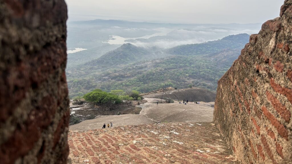
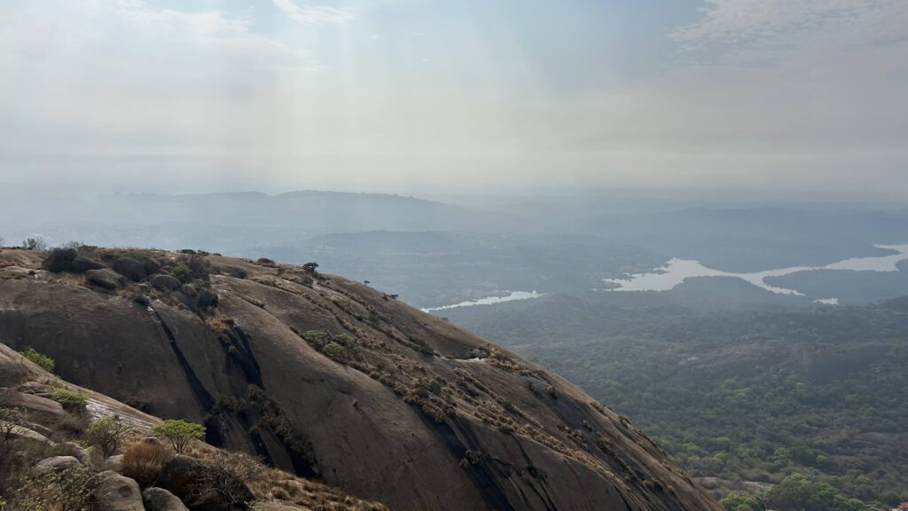
Little further up from this location is the ruins of the fort and a pond that was used by soldiers. It was unfortunate to see this section of the trek badly littered with plastic and bottles. From here, you can view the Arkavathy river meandering its way to reach the Manchinabele dam.
Bird species such as Blue Rock Thrush, White- browed Bulbul or Rock Agamas are know to inhabit this area. Beyond the fort, the rocky terrain gives way to gravel, shrubs and large boulders. The toughest part of the trek lies close to the top of the hill. It is a steep, rocky climb that requires you to stay low and tread carefully while climbing.
Once you get past this section, you are on top of the hill where you will see Nandi overlooking the entire landscape.
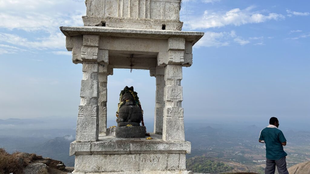
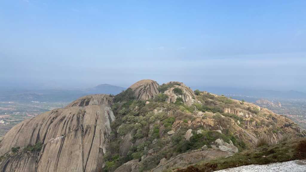
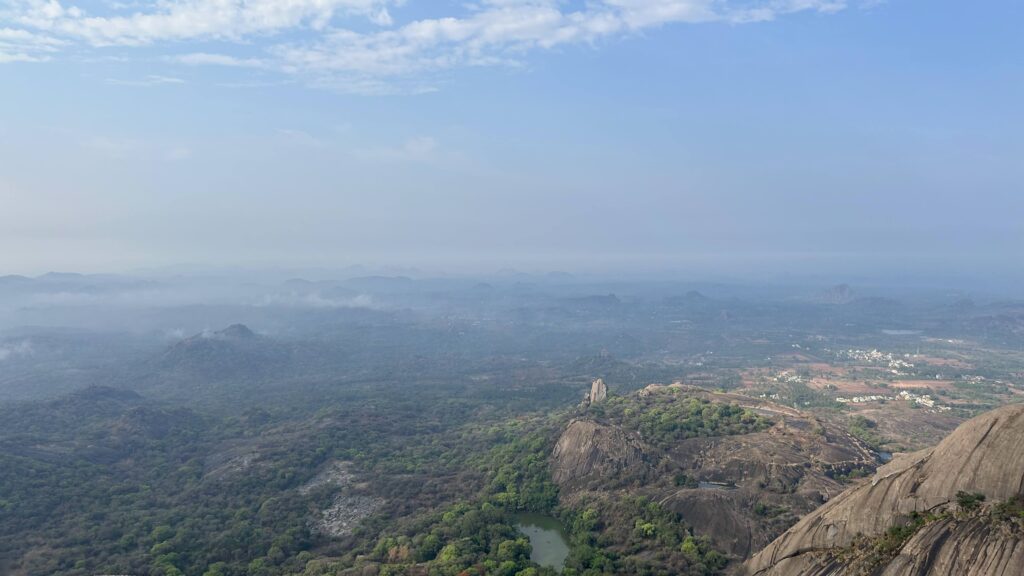
The view from the top is fantastic! You can see other mountains in the vicinity, the temple down below and the forest. Apparently, earlier there used to be vendors at the top selling food items but not anymore. Spend a good amount of time at the top of the hill and rehydrate before you begin the descent.
One needs to be cautious while trekking downhill, even the guides who had accompanied us were constantly reminding us to tread with caution. I hadn’t worn a good pair of trekking shoes as a result of which, the soul wore off causing me to slip and fall on my buttocks a couple of times.
After you get back to the starting point, at the forest check post, you will find people selling tender coconut. Beware of the monkeys in this area as they are constantly on the prowl willing to snatch anything that is not tended to.
On the way back, you can visit the Manchinabele damn and the Big Banyan Tree (Dodda Alada Mara) which are about 10-15 Kms away from Savandurga and on the route back to Bengaluru.
Conclusion –
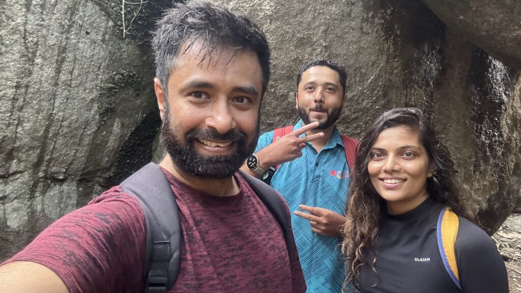
Three of went on this trek and total cost came upto Rs. 700 per head (300 for booking the trek and about 400 per head for fuel). We did not have breakfast or lunch anywhere along the way.
- For those who are travelling from Hebbal, make sure you do not miss the deviation onto Magadi Main Road – take the good road!
- Wear a good pair of trekking shoes as you need to have good grip on the rock surface that tends to be slippery.
- Make sure you do the trek on a non rainy day as the rock surface can get very slippery adding to the difficulty and risk.
- As a courtesy will be nice to give the guides who accompany you on the trek a small tip!
- There are some dogs who follow the trekkers to the top of the hill, if you are a dog lover, carry some food to feed them along the way.
Leave a Reply